Beijing moves a step forward to self resilience, launches high-res satellite
Beijing seeks to reduce reliance on foreign technology in topographic mapping

BEIJING: China launched a new high-resolution remote sensing satellite capable of providing stereoscopic imagery on Sunday, state-run media said, marking another important step as Beijing seeks to reduce reliance on foreign technology in topographic mapping.
A rocket lifted off from the Taiyuan Satellite Launch Centre in northern China at 11:22 a.m. local time, carrying the Gaofen-7 high resolution satellite into its designated orbit, the state-run China Central Television (CCTV) said, citing China National Space Administration.
Gaofen-7, a sub-metre resolution optical satellite, boasts the highest mapping accuracy among its domestic peers, and is able to map China and even the world’s lands stereoscopically with a margin of error of less than a metre, according to CCTV.
Also read: China launches two satellites for Pakistan
The satellite, which will be used for land surveys, urban planning and statistical investigation, will help end China’s reliance on foreign imports in high-resolution stereo mapping, the CCTV added.
The purpose of China’s satellite remote sensing project — the Gaofen series — is to help build an all-weather, 24-hour, global Earth remote sensing system by 2020 capable of monitoring the ground, atmosphere, and oceans, according to CNSA.
The Gaofen project, one of the 16 major projects that are key to the nation’s scientific development, is also aimed at comprehensively boosting China’s self-reliance in accessing high-resolution earth observation data.


-
 Scientists discover rare form of 'magnets' that might surprise you
 -
 Humans may have 33 senses, not 5: New study challenges long-held science
 -
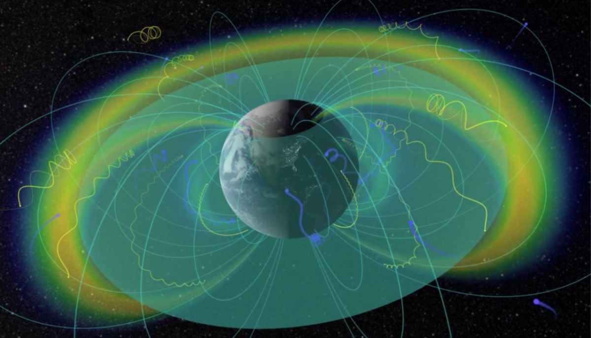
 Northern Lights: Calm conditions persist amid low space weather activity
 -
 SpaceX pivots from Mars plans to prioritize 2027 Moon landing
 -
 Dutch seismologist hints at 'surprise’ quake in coming days
 -
 SpaceX cleared for NASA Crew-12 launch after Falcon 9 review
 -
 Is dark matter real? New theory proposes it could be gravity behaving strangely
 -
 Shanghai Fusion ‘Artificial Sun’ achieves groundbreaking results with plasma control record