Geospatial platform on cards to monitor afforestation programme
ISLAMABAD: Efforts are underway to launch a geospatial platform for monitoring the Ten Billion Tree Tsunami afforestation programme and ecosystem restoration efforts, said special assistant to the prime minister on climate change Malik Amin Aslam on Tuesday.
He was addressing a two-day national workshop on the topic jointly organised by the climate change ministry and Kathmandu-based International Centre for Integrated Mountain Development.
The organisers said the event was meant to initiate groundwork for establishing a satellite remote sensing-backed geospatial platform to support ecosystem restoration efforts under the TBTTP and to initiate work on a five-yearly State of The Forest Report for Pakistan.
Speaking as the chief guest at the event, Malik Amin said Pakistan’s forest restoration journey started in 2014 with the investment in planting trees in Khyber Pakhtunkhwa province. The programme achieved the target of one billion trees in 2018. “After forming the government at the federal level, we [PTI] started the TBTTP,” he said.
The SAPM said the TBTTP was a nationwide initiative and had helped restore over one million hectares of degraded land across Pakistan so far.
He added that the World Economic Forum, the United Nations Development Programme and the UN Food and Agriculture Organization had recognised the programme as the best replicable climate change mitigation and adaptation initiative.
“Most recently, the United Nations Environment Programme (UNEP) termed Prime Minister Imran Khan’s Ten Billion Tree Tsunami Plantation (TBTTP) vision as a “Global Leader” initiative,” he said.


-
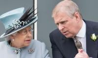 Queen Elizabeth Tied To Andrew's Sexual Abuse Case Settlement: Report
 -
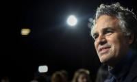 Mark Ruffalo Urges Fans To Boycott Top AI Company Boycott
 -
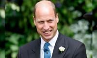
 Prince William Joins Esports Battle In Saudi Arabia
 -
 Princess Beatrice, Eugenie Are Being Ripped Apart: ‘Their Relationship Is Fully Fractured’
 -
 Arden Cho Shares Update On Search For ‘perfect’ Wedding Dress Ahead Of Italy Ceremony
 -
 Ariana Madix Goes Unfiltered About Dating Life
 -
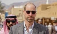 Prince William Closes Saudi Arabia Visit With Rare Desert Shot
 -
 'King Charles Acts Fast Or Face Existential Crisis' Over Andrew Scandal
 -
 Brooklyn Beckham Charging Nearly £300 In Ticket Cost For Burger Festival
 -
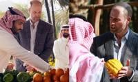 Prince William Makes Unexpected Stop At Local Market In Saudi Arabia
 -
 Zayn Malik Shares Important Update About His Love Life
 -
 James Van Der Beek's Celebrity Pals Pen Touching Tribute After His Death
 -
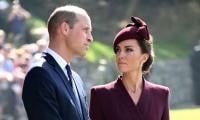 Kate Middleton, William Are Holding Onto Their Hats As Worse Gets Threatened: Behind The Veil Of Shame
 -
 British Soap Awards Scrapped Again As ITV Confirms 2026 Hiatus
 -
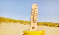 Climate Nearing Dangerous Tipping Points, Study Shows
 -
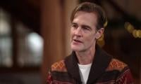 James Van Der Beek, 'Dawson's Creek' Star, Dies At 48