Weather forecast for tomorrow: wintry mix overnight and warmer temps midweek
Rain chances will continue through the week, with several inches of rainfall possible. Rising river levels may become a concern by late week
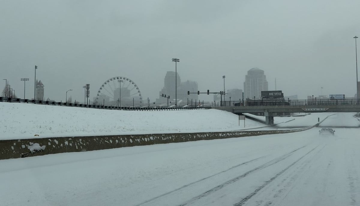
A new weather system is set to move in after midnight, bringing rain and a wintry mix across parts of the region in the latest weather forecast tomorrow.
Forecasters say widespread rain will fall south of I-64 overnight, while areas along and north of I-64 will see a mix of light snow and sleet. Lows will dip into the low 30s by Monday morning.
Light snow and sleet accumulations up to one inch are possible in northern areas.
This could create slick spots on bridges and overpasses during the Monday morning commute before changing to rain by midday.
South of I-64, rain is expected throughout the day Monday.
Scattered showers may linger into the evening before tapering off after midnight. Temperatures will rise from the low 40s in the evening into the mid 40s overnight.
Another round of showers is expected on Tuesday, with highs climbing into the mid 60s.
Rain chances will continue through the week, with several inches of rainfall possible. Rising river levels may become a concern by late week, especially across southern Indiana.


-
 Savannah Guthrie receives secret message as search for Nancy continues
 -
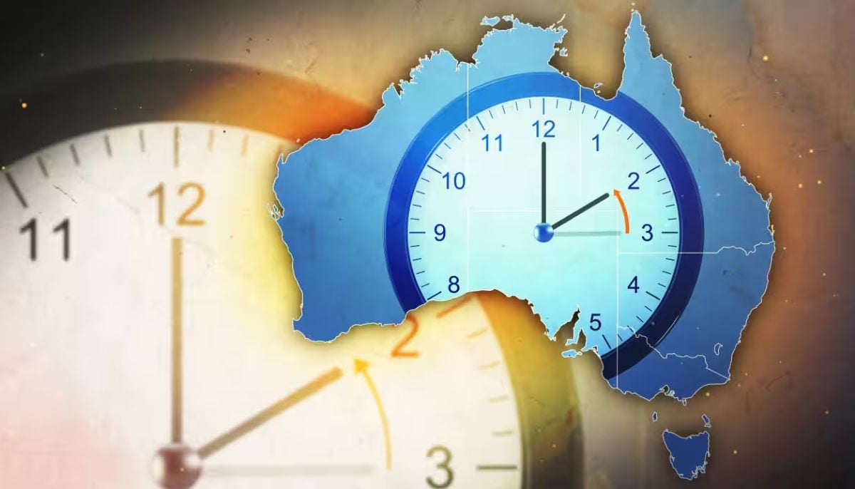 Daylight saving ends in Australia: When clocks go back in April 2026
 -
 China develops AI VF tools to raise birth rates
 -
 Vanessa Trump sparks fans reactions as she rejects rumours of rift with Tiger Woods
 -
 Tragedy at Peru football derby: One dead, 47 injured in rally at Alejandro Villanueva Stadium
 -
 Where Vanessa Trump stands with Tiger Woods amid DUI drama
 -
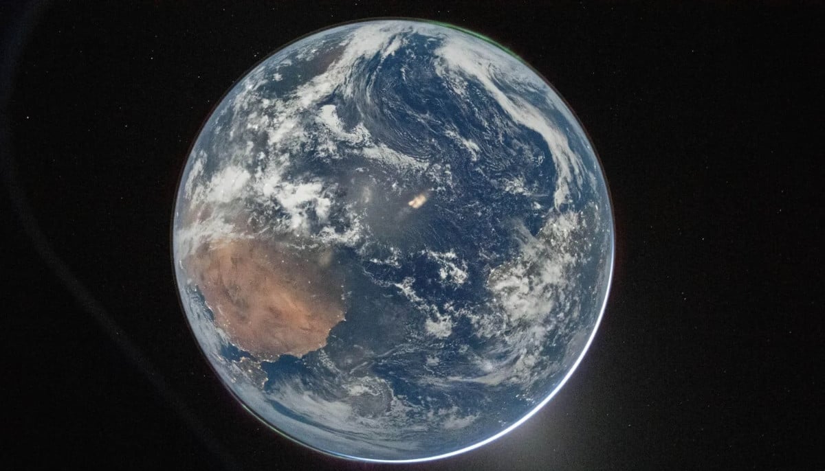 NASA Artemis II moon mission captures stunning Earth images during historic lunar journey
 -
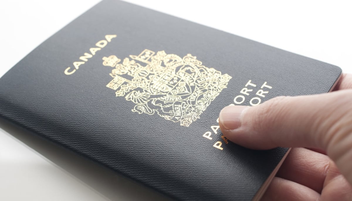 Canadian citizenship new eligibility rules explained: who qualifies and what has changed
-
 A10 Warthog hit as US jet downed in Iran, one crew rescued and search underway for second
 -
Meningococcal disease, dangerous bacterial infection, hits decade high in Canada
-
Sam Altman's OpenAI buys TBPN to expand communication strategy and shape AI public debate
-
Erika Kirk dating claims surface as she reclaims Charlie Kirk's legacy


