Wind chill returns with brutal cold as polar vortex stalls over Canada
Authorities warn that frostbite risks increase quickly when wind chill values drop this low
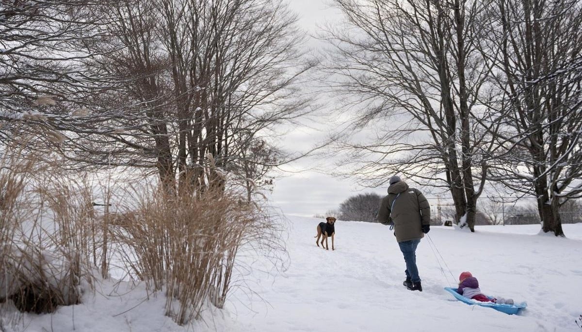
Extreme wind chill conditions are gripping parts of Northern Canada as Arctic air pushes temperatures to dangerous lows, while southern regions experience milder weather.
According to the Weather Network, environment officials say temperatures in Thompson River, NWT drop to −51.7 C, triggering cold warnings as wind chill values approach −60.
The bitter conditions are expected to continue through Wednesday, keeping residents indoors and bundled against the intense cold.
Forecasters link the deep freeze to a weak, elongated polar vortex positioned over Northern Canada. Unlike previous cold outbreaks, the system is not moving south.
Instead, the outlet says, it is retreating toward the North Pole, trapping the harshest Arctic air in northern communities while southern areas see a more seasonable pattern.
The report cites meteorologists noting that the most dangerous wind chill values occur during evening and early morning hours, when already freezing temperatures feel significantly colder.
Authorities warn that frostbite risks increase quickly when wind chill values drop this low, making preparation and caution essential as the Arctic blast continues.


-
 Karoline Leavitt joins Erika Kirk at Washington event
 -
 US targets China chip sector with new export curbs on ASML
 -
 Trump administration labeled ‘misogynistic’ following dismissal of Pam Bondi and Kristi Noem
 -
 Trump mocks Starmer as UK–US tensions rise over defence
 -
 China tightens rules on digital humans and addictive kids’ content: Here’s why
 -
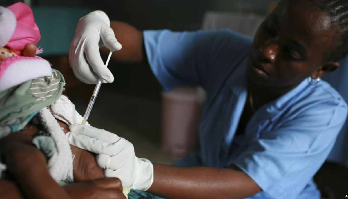 US disrupts global malaria and HIV supply chains, sparking health crisis fears
 -
 Uffizi galleries hit by cyberattack, valuables moved to bank
 -
 Was Kristi Noem really 'blindsided' about her husband crossdressing life? Insiders tell all
-
 From coup to presidency: Myanmar junta leader tightens grip on power
 -
Justice Department shake-up: Pam Bondi ousted as attorney general despite close ties to Trump
-
Markwayne Mullin updates DHS rules, pauses migrant flights as Republicans call for stronger action
-
Calgary weather: snow brings dozens of crashes during second spring storm


