Snow forecast warns of reduced visibility and travel risks in Ontario
Snow is expected to begin Tuesday morning with temperatures reaching a high of about -8 C
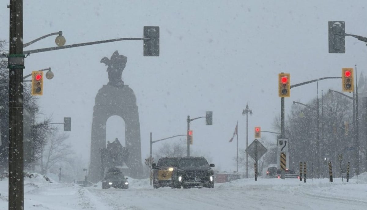
A fresh round of snow is expected to move into Ottawa on Tuesday as Environment Canada issues a special weather statement warning of changing travel conditions across parts of Ontario.
The national weather agency says snowfall totals between seven and 12 centimetres are possible beginning late Tuesday mornng or early afternoon.
Reduced visibility and slippery roads are expected during periods of heavier snowfall.
“An area of moderate to heavy snow will pass through portions of northeastern and southern Ontario on Tuesday. Prepare for quickly changing and deteriorating travel conditions,” the statement from Environment Canada says.
The new snowfall comes just after a yellow extreme cold warning for Ottawa ended Monday morning following several days of frigid temperatures.
Forecasters say skies will remain mostly cloudy overnight with a 30 per cent chance of flurries and a low near -15 C.
Snow is expected to begin Tuesday morning with temperatures reaching a high of about -8 C. The rest of the week will remain mostly cloudy, with highs near -4 C from Wednesday through Friday.
Environment Canada notes that normal temperatures for this time of year are a high of -5 C and a low of -14 C.


-
 Karoline Leavitt joins Erika Kirk at Washington event
 -
 US targets China chip sector with new export curbs on ASML
 -
 Trump administration labeled ‘misogynistic’ following dismissal of Pam Bondi and Kristi Noem
 -
 Trump mocks Starmer as UK–US tensions rise over defence
 -
 China tightens rules on digital humans and addictive kids’ content: Here’s why
 -
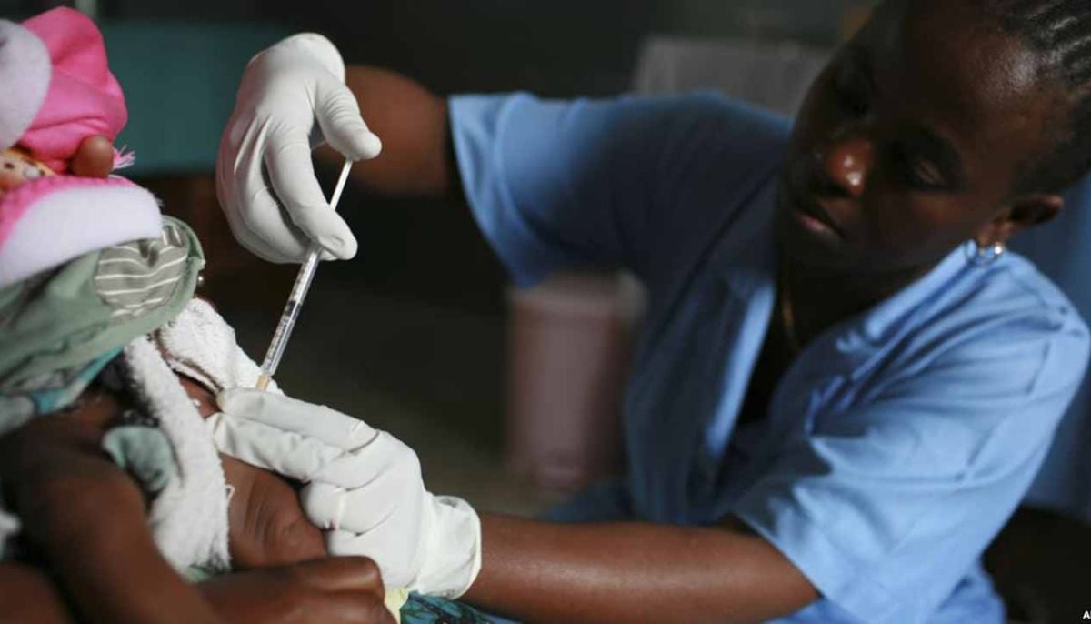 US disrupts global malaria and HIV supply chains, sparking health crisis fears
 -
 Uffizi galleries hit by cyberattack, valuables moved to bank
 -
 Was Kristi Noem really 'blindsided' about her husband crossdressing life? Insiders tell all
-
 From coup to presidency: Myanmar junta leader tightens grip on power
 -
Justice Department shake-up: Pam Bondi ousted as attorney general despite close ties to Trump
-
Markwayne Mullin updates DHS rules, pauses migrant flights as Republicans call for stronger action
-
Calgary weather: snow brings dozens of crashes during second spring storm


