Dangerous storms sweep Midwest and Plains with tornado threat rising
Forecasters say tornadoes, large hail and destructive winds are all possible
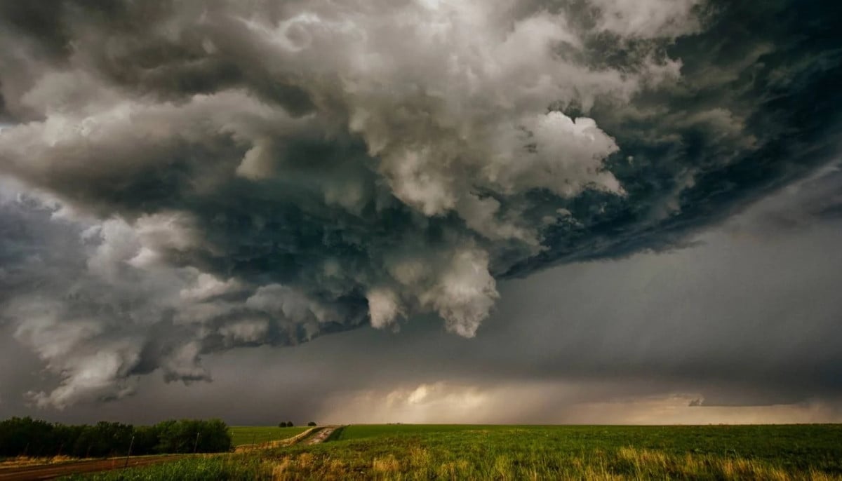
A new round of severe weather is expected to hit parts of the Midwest and Great Plains this week, with forecasters warning of possible tornadoes, damaging winds and large hail across several US states.
According to the National Weather Service, the storm threat is expected to continue through Monday and Tuesday, stretching from north-central Oklahoma into parts of Minnesota and western Wisconsin.
A level 3 out of 5 “enhanced risk” alert has been issued for areas from east-central Nebraska to southwest Minnesota, including Sioux Falls, South Dakota, and Grand Island, Nebraska.
Forecasters say tornadoes, large hail and destructive winds are all possible.
The latest warning comes after severe storms swept across the central US over the weekend, triggering reports of tornadoes in Iowa, Kansas and Nebraska.
Baseball-sized hail was also reported in several states, including Missouri and Kansas.
Thunderstorms near Concordia, Kansas, produced wind gusts estimated at 90mph on Saturday, bringing down trees and power lines.
Hill City Airport in northwest Kansas recorded gusts of up to 82mph .
Heavy rainfall also caused flash flooding in central Missouri, where six to eight inches of rain reportedly fell within hours.


-
 Self-exiled Chinese tycoon Guo Wengui sentenced to 30 years in US prison
 -
 Ex-Pentagon official makes chilling claim: UFOs provoke US military
 -
 Inmates stage daring takeover of Bertie-Martin Regional Jail
 -
 Paris mortuaries at capacity as heatwave death toll climbs
 -
 US Supreme Court allows Lisa Cook to remain at Fed
 -
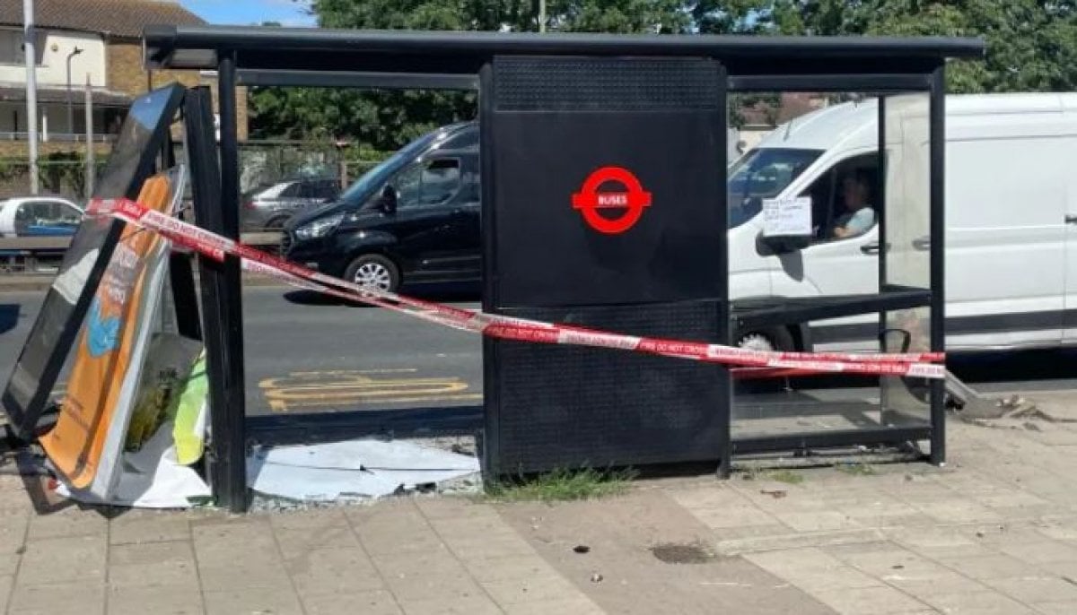 Car crashes into North Circular Bus stop, two injured
 -
 Germany Shooting: 5 adults killed at Stade Youth Centre, suspects detained
 -
 'Iran has requested a meeting': Trump announces surprise Doha talks
-
 Dangerous heat wave sweeps US before July 4: Which states will be hottest?
 -
Andy Burnham rules out Cabinet appointments until leadership race concludes
-
Will missing flight MH370 ever be found? Malaysia extends search until 2027
-
Spanish PM Pedro Sanchez faces pressure as wife Begona Gomez ordered to stand trial


