Super El Nino threat grows ahead of summer: What it means for US states
According to National Oceanic and Atmospheric Administration, El Nino will develop during next 6 months
El Nino is not going anywhere; in fact, it is morphing into a “super El Nino” threat likely to grow by the summer of 2026.
The latest forecast from the European Centre for Medium-Range Weather Forecasts (ECMWF) suggests waters in the equatorial Pacific Ocean may reach 2.5 C above normal, highlighting the increasing chances of a super El Nino.
What is Super El Nino?
A super El Nino is an exceptionally strong version of the El Nino Southern Oscillation (ENSO) cycle, defined by the heightened intensity and scale of its global disruption.
The key characteristics of El Nino include:
When El Nino turns extreme, the sea surface temperatures rise at least 2.0 C to 2.5 C above the long-term average.
One can also witness atmospheric coupling, showing a strong shift in ocean heat to completely reorganize global wind patterns, particularly the reversal of the trade winds.
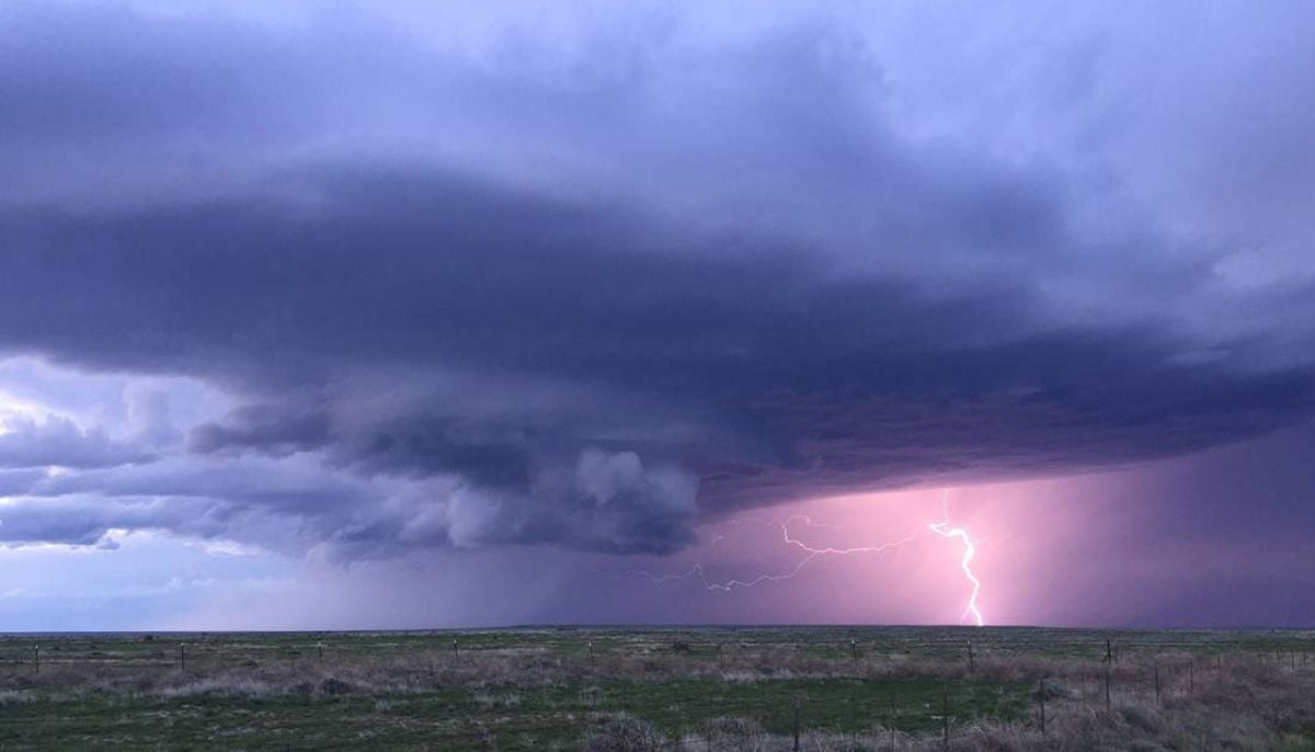
Rapidly fluctuating ocean temperatures could trigger a domino effect across global weather systems, including the coming of severe storms, increased rainfall, and massive disruption in hurricane activity.
El Nino occurs when usual winds weaken or start blowing the opposite way. As a result, the eastern Pacific gets much warmer than usual, leading to heavier rain in the Americas and droughts in Australia and Indonesia.
What does super El Nino mean for US states?
With the potential advent of super El Nino, Metro Detroit and the Midwest will experience intense drier weather conditions and warmer temperatures. However, the most tangible impacts will be visible during the winter months.
During an El Nino phase, the Pacific Jet Stream strengthens and shifts southward across the US. The shift drives more storms through the southern states, providing relief to drought-affected regions and refills water reserves ahead of the growing season.
In the wake of super El Nino, the aforementioned pattern will become more pronounced with minimal fluctuation.
For Florida, the super El Nino will bring winter months that are notably wetter, stormier, and prone to severe weather disruptions.
The Tennessee Valley often finds itself caught in the middle of two patterns: drier & warmer and wetter & cooler. Generally, the further north one is in the region, the higher the likelihood of seeing drier conditions.
Current forecasts suggest that once this El Nino cycle takes hold, it will persist through at least the end of 2026, with its most significant impacts felt during the winter months.
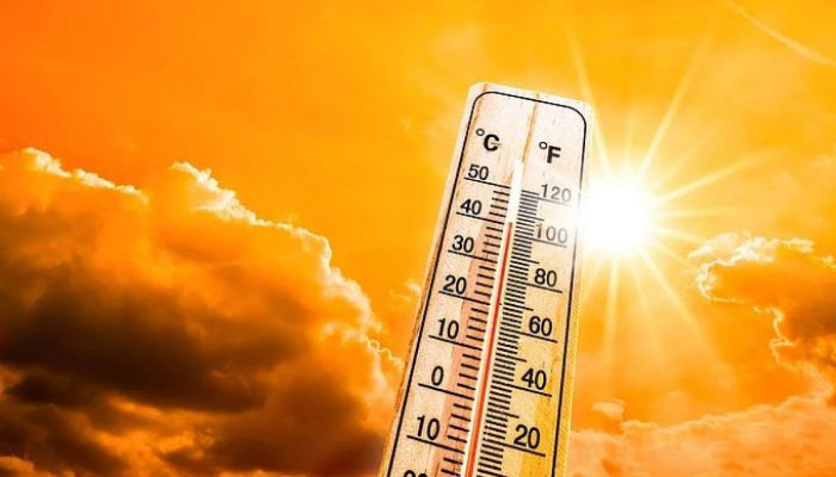
Uptick in global temperatures
According to some meteorologists and climate scientists' forecasts, El Nino can cause an unprecedented uptick in global temperatures.
Carlo Buontempo, director of the European Union's Copernicus Climate Change Service said “2026 could be another record-breaking year if El Nino appears this year.”
According to Jennifer Francis of the Woodwell Climate Research Center, “When El Niño develops, we’re likely to set a new global temperature record.”
Impact on Hurricane season
The upcoming El Nino phase could also affect the Atlantic Hurricane Season by reducing the frequency and intensity of the storms.
The phase will make winds and wind shears stronger over the Gulf of Mexico and the tropical Atlantic Ocean, responsible for hindering storm development.


-
 Scientists found 'super-puff' planets 1,110 light-years away
 -
 Scientists find ancient microbial life in places it shouldn't exist
 -
 Why Marijuana is suddenly sending thousands of dogs to hospitals in US?
 -
 36 years on, Hubble shows how stars actually change over time
 -
 Hidden magma beneath Mars? Scientists' 'unexpected' discovery raises new questions about alien life
 -
 Rare 3,200-year-old coral blue hole discovered in South China Sea
 -
 What happens at black hole’s event horizon? Scientists find the first-ever clue
 -
 Scientists discover evidence of fires used by humans 1.8 million years ago
-
 Did NASA just uncover evidence of ancient life on Mars? Key discoveries explained
 -
Four powerful earthquakes strike three continents within hours: Scientific link or coincidence?
-
Mysterious interstellar comet passing our solar system may be 12 billion years old, scientists say
-
When do we really become adults? Science has an answer


