Google Maps newly-launched feature helps reduce carbon emissions in cities
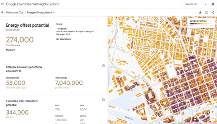
Google Maps has rolled out a new feature that now enables the users to access the carbon footprint of all of a city’s buildings – and the carbon print of all the car trips, bus and subway rides.

Google Maps has rolled out a new feature that now enables the users to access the carbon footprint of all of a city’s buildings – and the carbon print of all the car trips, bus and subway rides.
Named ‘The Environmental Insights Explorer’, an online tool introduced on Monday, is designed to help cities identify and come up with a plan to reduce emissions, looking at their carbon footprint.
By using this new feature, more than 9000 cities can actually benefit, who have initiated projects to cut emissions after signing the Paris Agreement.
The new feature, created by Google in partnership with the Global Covenant of Mayors for Climate and Energy, can actually trace a large part of carbon emissions in cities.
“This is looking at the thousands of cities that are out there today that don’t typically have the resources to spend on digging up the data or analyzing the data,” explained Nicole Lombardo, who leads partnerships for Google’s environmental insights team, which is creating the tool.
“This tool helps to do some of that and reduce some of the complexities and the cost in that process, so you have more people spending less time data gathering and data crunching and more on the action planning.”
The tool, can decipher whether the buildings are homes or workspaces, and then calculate the size of each building and its data about emission of carbon as well as its energy consumption.
Using location data from Google Maps, the tool can infer traffic and modes of travel, and then estimate the emissions from that transportation.
-
 China sends artificial embryos into space—Could humans reproduce in zero gravity?
 -
 SpaceX IPO buzz intensifies as strategists debate $2 trillion valuation
 -
 China to launch Shenzhou 23 crew to Tiangong space station
 -
 Antarctic blizzard sends fuel containers floating on an iceberg: Here’s why
 -
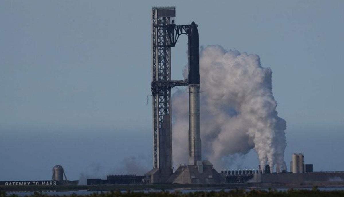
 SpaceX Starship test flight succeeds despite engine failures
 -
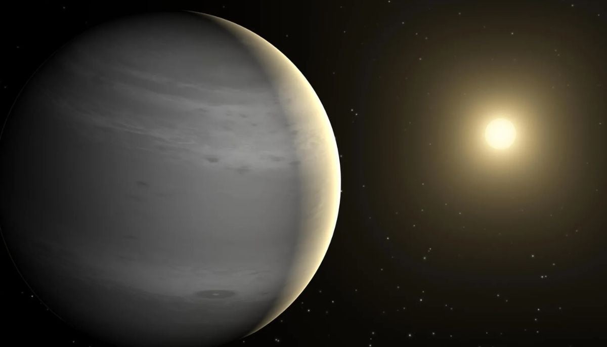 Is this Earth 2.0? NASA’s James Webb telescope spots ‘rare’ giant exoplanet
 -
 SpaceX Starship launch delayed again: Here’s what went wrong
 -
 Why do scientists think Neptune’s moon Nereid survived violent cosmic collision?


