VIDEO: Devastating floods ravage parts of New York City after week-long torrential rains
The Weather Prediction Center (WPC) predicts moderate risk of flash flooding in NYC through Saturday
Severe flash floods on Friday devastated New York City (NYC) and the tri-state region, causing delays, cancellations and closures at important airports, on highways and city streets, as well as the subway system.
In anticipation of significant effects from the floods, Governor Hochul declared a state of emergency for New York City, Long Island, and the Hudson River Valley on Friday urging people to stay inside.
The flash floods followed heavy rain that began late Thursday in the Tri-State and southern New England, causing 3-5 inches of rain and posing a threat of urban flooding and flash flooding.
As a result, JFK Airport experienced its wettest day since 1948, with 8.64 inches of rain, breaking daily and September rainfall records, according to Weather Nation.
Additionally, New York Mayor Eric Adams was seriously criticised by the city's residents for his tardy response to Friday's devastating floods after failing to provide anything more than the most minimal warning the day before and even arriving late for an emergency management session with other officials.
The Weather Prediction Center (WPC) predicts a moderate risk of flash flooding in the region through Saturday, with a level 3 out of 4 risk which means numerous flash flooding incidents and potential for significant flooding.
Although additional rain is not expected to be intense, it could overwhelm already stressed drainage systems.
High-resolution weather models predict 1 to 3 inches of rainfall for New York City, Long Island, and Connecticut through midday Saturday, potentially causing low-lying flooding.
Lighter and more scattered rain showers will occur on Saturday morning, while heavier downpours may rotate through. Rain will move offshore by Saturday evening, and although the greatest flooding risk has passed, additional showers could cause more flooding in low-lying and vulnerable areas, Weather Nation reported.
However, currently, a flood watch remains in effect for the eastern half of Long Island into Saturday morning due to the potential for flooding.
King tides, along with onshore flow with the full moon and moon approaching perigee, will cause coastal flooding all along the mid-Atlantic coast. Saturday afternoon will see heavy surf and high waves.
-
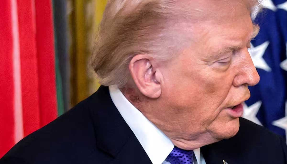 'Trump at Walter Reed hospital': health rumors prompt White House reaction
 -
 New Covid variant BA.3.2 spreads across US as experts stress vigilance
 -
 Savannah Guthrie receives secret message as search for Nancy continues
 -
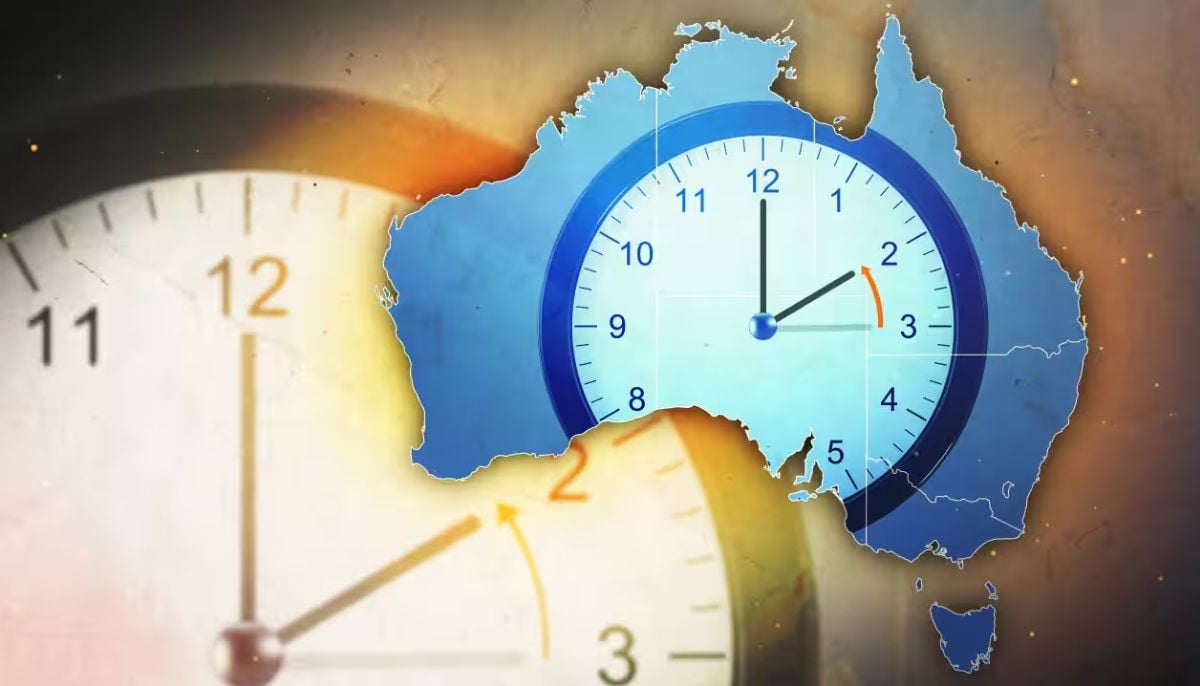 Daylight saving ends in Australia: When clocks go back in April 2026
 -
 China develops AI VF tools to raise birth rates
 -
 Vanessa Trump sparks fans reactions as she rejects rumours of rift with Tiger Woods
 -
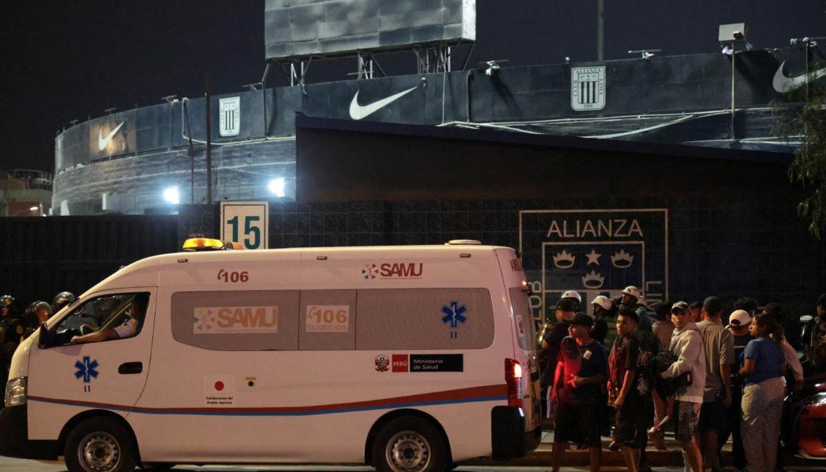 Tragedy at Peru football derby: One dead, 47 injured in rally at Alejandro Villanueva Stadium
 -
 Where Vanessa Trump stands with Tiger Woods amid DUI drama
-
 NASA Artemis II moon mission captures stunning Earth images during historic lunar journey
 -
Canadian citizenship new eligibility rules explained: who qualifies and what has changed
-
A10 Warthog hit as US jet downed in Iran, one crew rescued and search underway for second
-
Meningococcal disease, dangerous bacterial infection, hits decade high in Canada


