PEMRA directs TV channels to show Pakistan’s map before airing 9pm bulletin
Media regulatory authority directs satellite TV channel licensees to comply with direction 'in letter and spirit without fail'

ISLAMABAD: The Pakistan Electronic Media Regulatory Authority (Pemra) has directed all public and private news channels to show the political map of Pakistan before airing the news bulletin at 9pm on a daily basis.
In a notification, Pemra said “All the news channels (both public and private) have to flash the political ma of Pakistan for two seconds before airing the news bulletin at 9:00 pm on regular basis.”
The media regulatory authority directed the satellite TV channel licensees to comply with the direction “in letter and spirit without fail”.
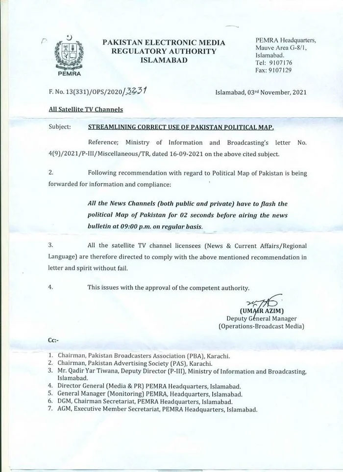
“All the satellite TV channel licensees (News and current Affairs/ regional language) are therefore directed to comply with the above mentioned recommendation in letter and spirit without fail,” read the notification.
New political map of Pakistan includes Indian-occupied Kashmir
Last year in August, Prime Minister Imran Khan had announced the approval a new political map of Pakistan, which includes Indian-occupied Kashmir in its entirety.
The approval was given in a Cabinet meeting chaired by PM Imran earlier today during which the participants had been apprised of the latest situation in the occupied Muslim-majority region.
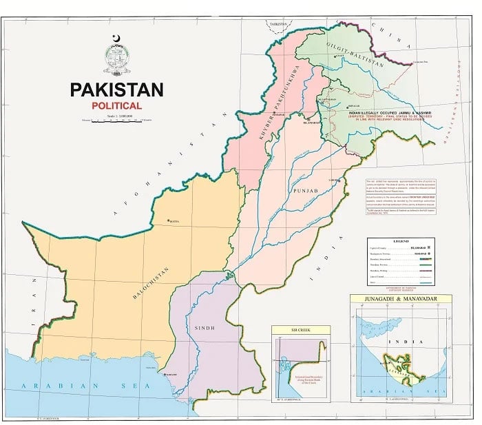
Speaking during a live televised address to the nation, the premier had shared the details of the decisions made in the Cabinet meeting. "Today is the most important day in the history that we are presenting a new political map of Pakistan before the world," he had said.
"The cabinet has approved the map," he had said, adding that the Kashmiri and national leadership had also green-signalled it. The new map would be used in school and colleges as well, he had added.
The final status of "Indian Illegally Occupied Jammu and Kashmir" was to be decided in line with the relevant UNSC resolutions, read the map.
-
 Punjab by-polls: Notices served on minister, SAPM for ‘violating’ election code of conduct
 -
 27th Amendment empowers FCC to hear all constitutional cases: minister
 -
 JF-17 attracts strong attention at Dubai Airshow as friendly country inks procurement MoU
 -
 US lawmakers laud Punjab govt's initiative to modernise brick-kiln
 -
 Security forces gun down 30 terrorists in multiple IBOs in KP: ISPR
 -
 MQM-P calls for new province in Sindh
 -
 US report validates Pakistan military edge over India: PM
 -
 Banned TTP poses serious threat to Pakistan security: UNSC panel


